Map of the Atlantic coasts, 1660 (C029/1143) T-Shirt
1600s T-Shirt
designed and sold by SciencePhoto
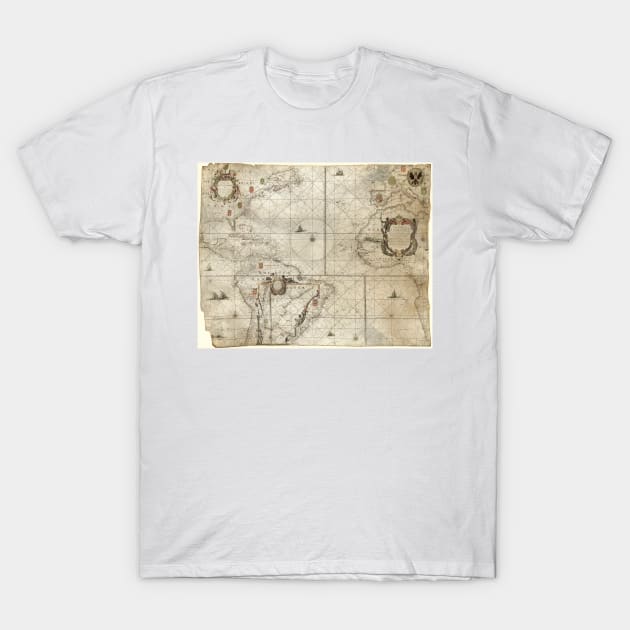
Map of the Atlantic coasts. 17th-century map of the Atlantic Ocean and its coastlines, produced in 1660 by Dutch cartographer Pieter Goos (1616-1675). The title ('West-Indische paskaert', centre right) refers to the territorial holdings of the Dutch West India Company (founded 1621). The rhumb lines and naming of rivers and ports along the coastlines makes this a portolan navigational chart. Southern South America is shown in an inset at lower left. Dutch text (upper left) names the map-maker and the city of publication (Amsterdam). Overseas territories are marked by European coats-of-arms: Spanish, Dutch, French, English, Portuguese.

Don’t love it? We’ll fix it. For free.
TeePublic GuaranTeeMore Map of the Atlantic coasts, 1660 (C029/1143) Products
People Love TeePublic!
Not what you're looking for?
Try another search.

Product Quality
Our Production Team establishes the highest quality standards for third-party printers who participate in the marketplace to ensure that every product sold is perfect.

1600s T-Shirt FAQ
UPS MI Domestic (6-8 Business Days)
FedEx 2-Day (4-6 Business Days)
Estimates include printing and processing time.More Shipping Info
We want you to love your order! If for any reason you don't, let us know and we’ll make things right.Learn More
Similar to Map of the Atlantic coasts, 1660 (C029/1143) T-Shirt
More 1600s products
Customers Also Search
More content to explore
Artist's Applied Tags
Trending Tags
The links above have been automatically generated based on tag usage by third-party designers on the TeePublic platform.